Crooked Lines and Broken Promises: The Messy Truth Behind America's State Borders
Crooked Lines and Broken Promises: The Messy Truth Behind America's State Borders
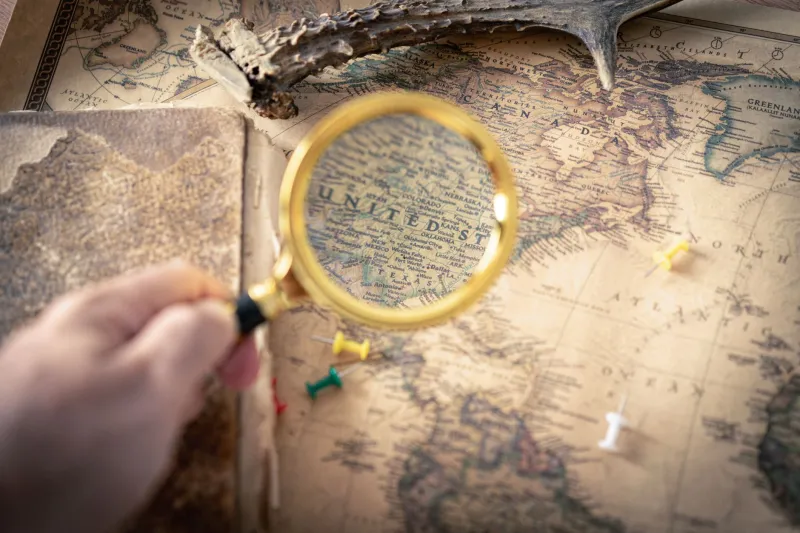
Open up any map of the United States and it looks so... intentional. Clean edges, sharp corners, tidy rectangles across the West. You'd be forgiven for thinking some brilliant committee of cartographers sat down, measured everything twice, and drew those lines with a steady hand and a clear head.
They did not.
The actual history of how America's state borders got established is a beautiful disaster — a patchwork of surveying blunders, political arm-twisting, geographical misreads, and yes, at least a few accounts of surveyors who were very much not sober when they made critical decisions. Once you know the backstory, you'll never look at a state line the same way again.
The Surveyors Were Only Human (Sometimes Barely)
Before GPS, before satellite imagery, before basically any reliable technology, someone had to physically walk the land and mark where one state ended and another began. These surveyors were often working in brutal conditions — dense forests, swampy lowlands, brutal heat, and freezing mountain passes — with instruments that were fussy at best and wildly inaccurate at worst.
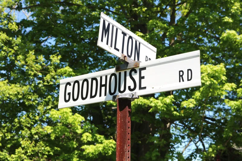
The Mason-Dixon Line, the famous boundary separating Pennsylvania from Maryland (and later shorthand for the cultural divide between North and South), took years to complete and required multiple corrections after surveyors discovered their initial calculations were off. The line that now separates Delaware from Pennsylvania has a quirky curved arc to it — the so-called "Twelve-Mile Circle" — because colonial-era surveyors were trying to draw a boundary radiating from a specific courthouse and the math just didn't cooperate perfectly with the terrain.
Out West, the problems got even messier. When surveyors were sent to establish the 42nd parallel — which forms the northern border of California, Nevada, and Utah — they were working across some of the most punishing geography on the continent. Small errors in measurement compounded over hundreds of miles. Some segments of those straight-looking western borders are straighter in theory than they are in reality.
Kentucky's Weird Northern Reach
Here's one that trips people up: Kentucky actually extends north of the Ohio River in a few places. That seems backwards, right? The Ohio River is supposed to be the border. But geography is never as simple as it sounds in a treaty.
When Virginia (which Kentucky was originally part of) and the Northwest Territory were hashing out their boundary in the late 18th century, the agreement was that the border would follow the northern bank of the Ohio River — meaning Virginia, and later Kentucky, got the river itself and a small strip of land on the far side. This was partly about navigation rights and partly about the practical reality that rivers shift over time. A few of those northern pockets of Kentucky still exist today, little geographic footnotes that confuse GPS systems and delight trivia nerds.
The broader lesson: whenever a river was used as a natural border, someone eventually had to decide which bank counted, and that decision created anomalies that communities are still living with today.
Missouri's Forgotten Panhandle
Speak of panhandles — Missouri has one, and most people have no idea. Tucked up in the northwest corner of the state is a tiny rectangular notch that juts upward, the result of a boundary dispute with Iowa that was supposed to be settled by a survey and instead created more confusion than it resolved.
The drama goes back to a competing set of survey markers from the 1820s. Missouri had been using one set of coordinates to define its northern border; Iowa (when it was still Iowa Territory) was using another. The difference was only a few miles, but a few miles of fertile farmland was worth fighting over. The compromise that eventually emerged left Missouri with a small bump of extra territory — the "Honey War" strip, named after a genuinely ridiculous 1839 standoff that nearly came to blows over some beehives that sat in the disputed zone.
No shots were fired. The bees were unharmed. Missouri kept its panhandle.
When Politics Drew the Line
Not every weird border came from a surveying error. Plenty were the result of deliberate — if sometimes baffling — political decisions.
Take the perfectly straight lines that define so many western states. When Congress was carving up the territories acquired after the Mexican-American War and through the Louisiana Purchase, lawmakers back in Washington were often working from incomplete or just plain wrong maps. They'd draw a line at a specific latitude or longitude without fully understanding what terrain that line would cross, which communities it would split, or what resources it would allocate to one side versus the other.
The result? States like Wyoming and Colorado are essentially giant rectangles not because the land demanded it, but because it was the easiest thing to do from a desk in D.C. Meanwhile, communities that had developed organically — trading towns, river settlements, mining camps — sometimes found themselves suddenly split between two jurisdictions with different laws, different taxes, and different loyalties.
Nevada's eastern border with Utah is a particularly sharp example of politics overriding geography. The original boundary was pushed westward multiple times as Nevada's mining economy boomed and the federal government wanted to give the state more taxable territory. The communities in the affected zones didn't get much of a say.
What It Means for the People Living There
This isn't just historical trivia. People living along these quirky borders deal with real, everyday consequences. A town split by a state line might have kids attending schools in two different states, residents paying wildly different income taxes depending on which side of the street their house sits on, and emergency services that get complicated fast when a 911 call comes from a jurisdictional gray zone.
The community around Texarkana — the city that straddles the Texas-Arkansas border right down the middle of State Line Avenue — has made something of a cultural identity out of its split personality. The post office there has a unique dual-state designation. Some residents joke that they sleep in one state and eat breakfast in another.
Along the Kentucky-Tennessee border, there are homes where the living room is technically in one state and the kitchen is in another. Property tax bills get interesting. So do voting districts.
Your Map, Your World
That's the thing about state borders — they feel permanent and official, like they were handed down from some higher authority. But dig into the history and you find human beings making hasty decisions, correcting old mistakes with new ones, and occasionally just throwing up their hands and drawing a straight line because it was easier than figuring out the right answer.
Here at 1Wiki, we think that's kind of wonderful. The messiness of these borders is a reminder that the world we navigate every day was built by real people, with real limitations, doing their best under circumstances that were often chaotic. The map doesn't lie, exactly — but it definitely doesn't tell the whole story.
Next time you cross a state line, take a second to wonder: who drew this, why did they draw it here, and were they having a good day when they did it? The answer is almost always more interesting than you'd expect.